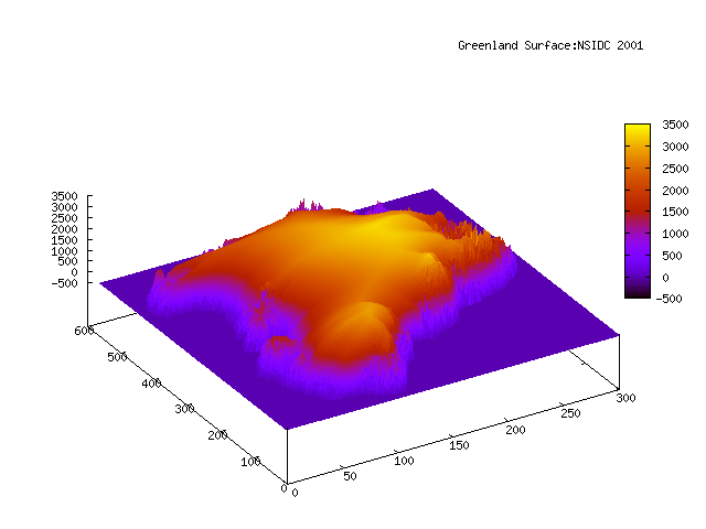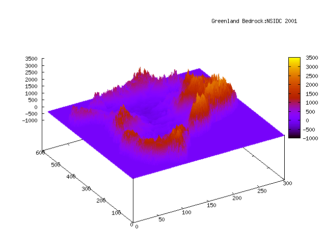


data from NSIDC (ftp://sidads.colorado.edu/pub/DATASETS/BAMBER_THICKNESS/) constructed by sidd with gnuplot
Note how Greenland is like a bowl with large cracks in its sides. Thats where the ice streams come out... (we are looking roughly north in these projection) Jacobshawn in the south west, Kangerlussuaq and Helheim in the south east and the giant North East (NEGIS) ice stream...
All these glaciers have accelerated. There will be no northwest passage as Jacobshawn fills the northern exits to the Labrador Sea with cubic kilometers of ice. Sailing to Churchill might be a problem. On the other coast, a finger of ice extending south west of Iceland. A Heinrich event, with ice rafted debris except from Greenland, not the Laurentide. Heinrich events used to coincide with (some) cold parts of Dansgaard-Oeschger events. This one might be a D-O excursion to the warm side, accompanied by Heinrich type debris deposition composed of scrapings off Greenland. And I do not think that the freshwater flow off Greenland will induce a sufficient slowdown of northward heat transport to reinitiate snowfall accumulation on Greenland to balance mass loss. Greenland is discharging a few hundred cubic km./year right now, causing on the order of fractions of a mm./yr sea level rise. Unfortunately the rate is accelerating, doubling in the last five years. (2006-2001)
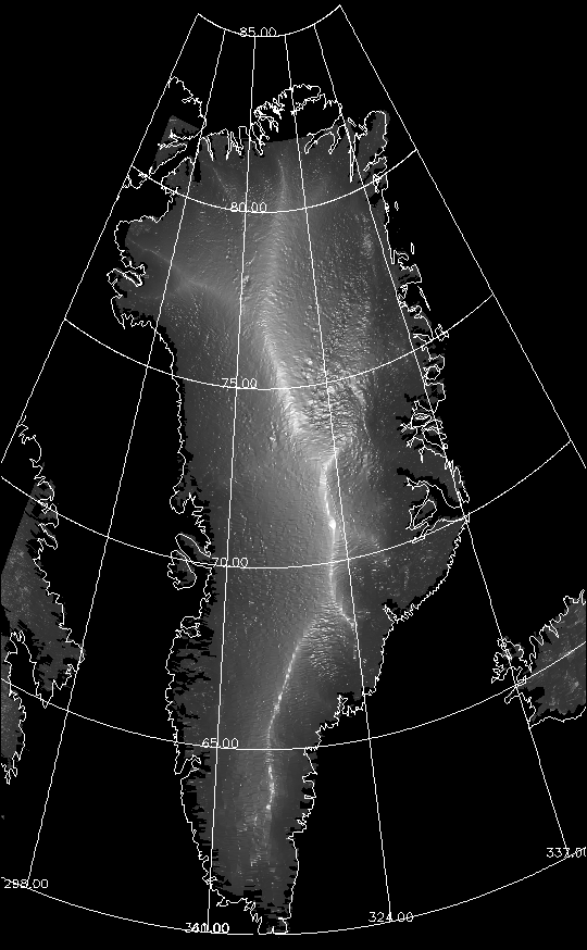
here is a picture from NASA of the ice
(http://earthobservatory.nasa.gov/Newsroom/NewImages/images.php3?img_id=16771)

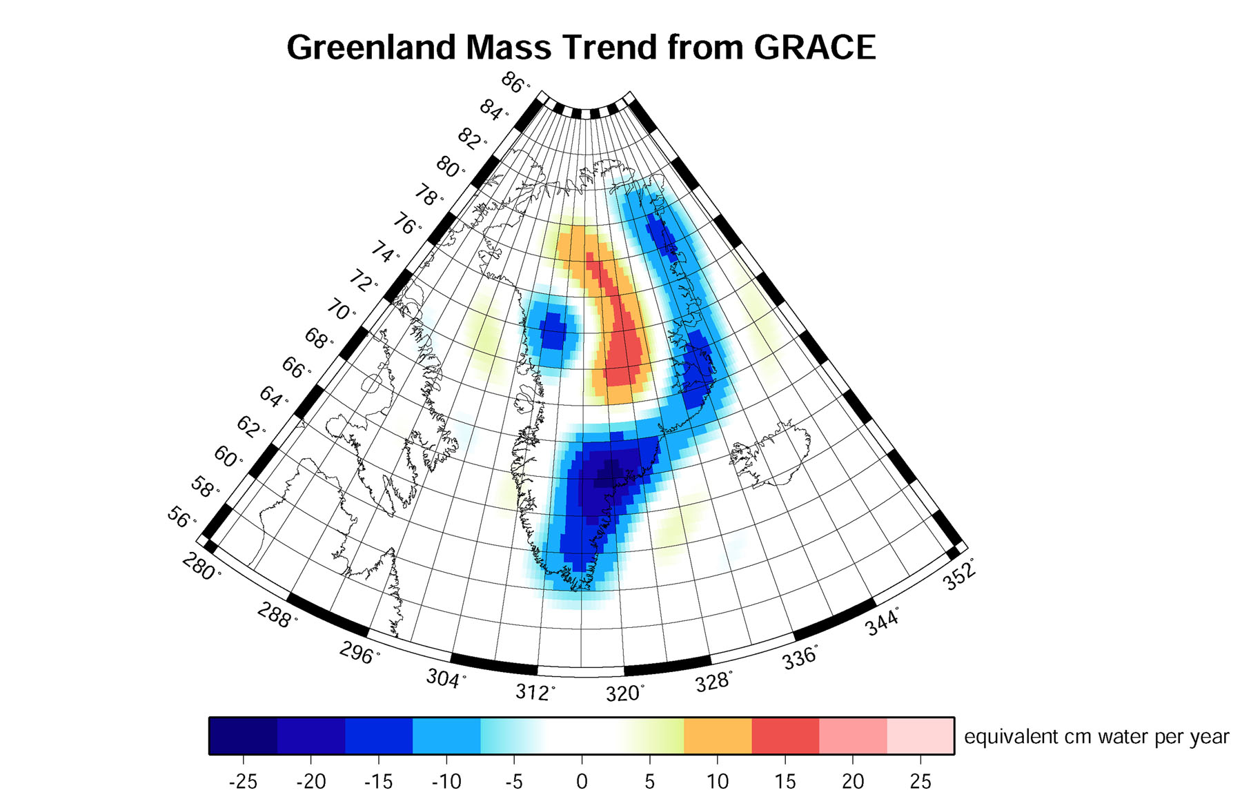
and here is one showing the mass loss from 2003 to 2005 deduced from
measurements of the local gravitational field by the Grace satellites
http://www.nasa.gov/centers/goddard/news/topstory/2006/greenland_slide.html
 the major loss for the period is in the South East. The central spine
is gaining mass in the north, but the mass loss far outweighs the gain.